How to 3D print maps ?

All the models generated on maps3d.io can be 3D printed, when creating your model you have a few settings you can tweak in order to obtain the best result.
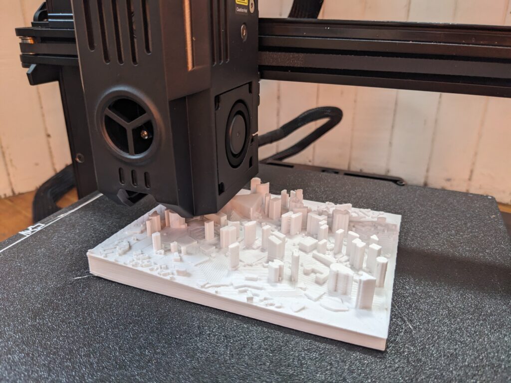
3d printing a map with buildings

Mesh – Hollowed out

You can hollow out the model, this creates an inside mesh and helps you save material when printing.
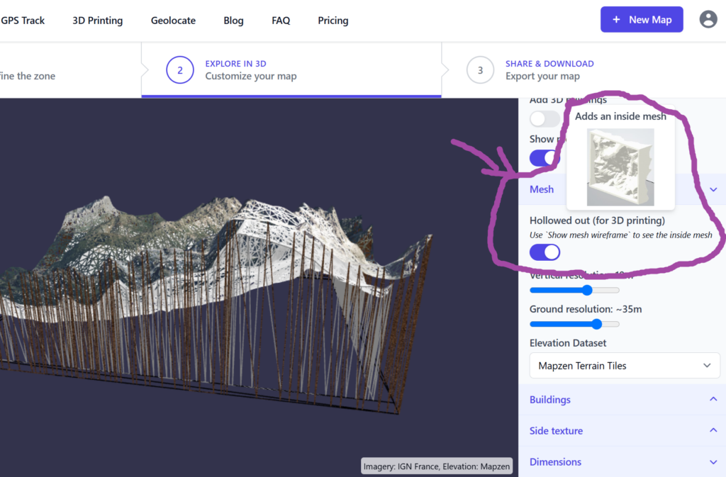
Hollowed out setting

When printing on a “at home” printer, we would suggest not to use it, as the slicer software will optimize the use of material anyway. This option is very handy if you want to send the file to be printed with a third party manufacturer, we have seen price drop by 50-80% with this option enabled.
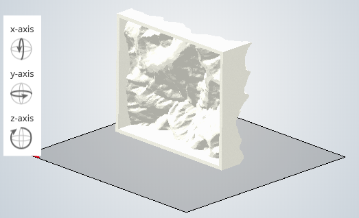
Hollowed out to save material

Mesh – Dimensions

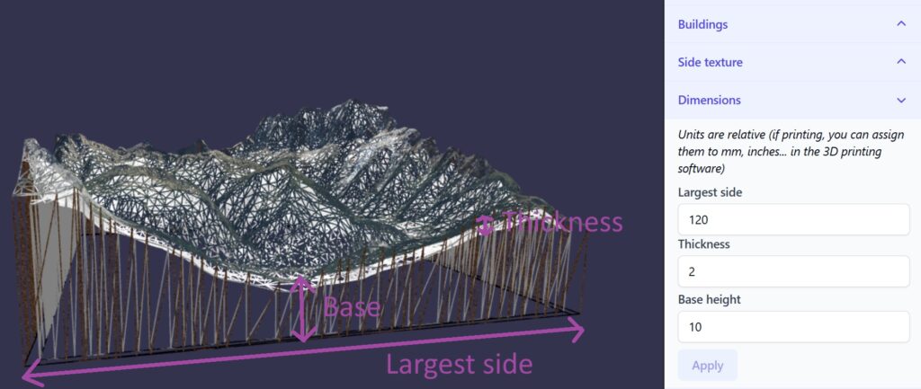
You can specify the dimensions of the model under this menu, be aware the units are relative, the real dimensions will be set when using the slicer tool before 3d printing.

  • Base height: height to the lowest point of the surface
  • Largest side: dimension of the largest side
  • Thickness: available when mesh is hollowed out, thickness of the surface between the outside and inside mesh.
Track

In order to 3D print a track on the map, you need to select “render type” 3D so it has some volume to be printed. You have the option to render it as a Profile or as a Tube.
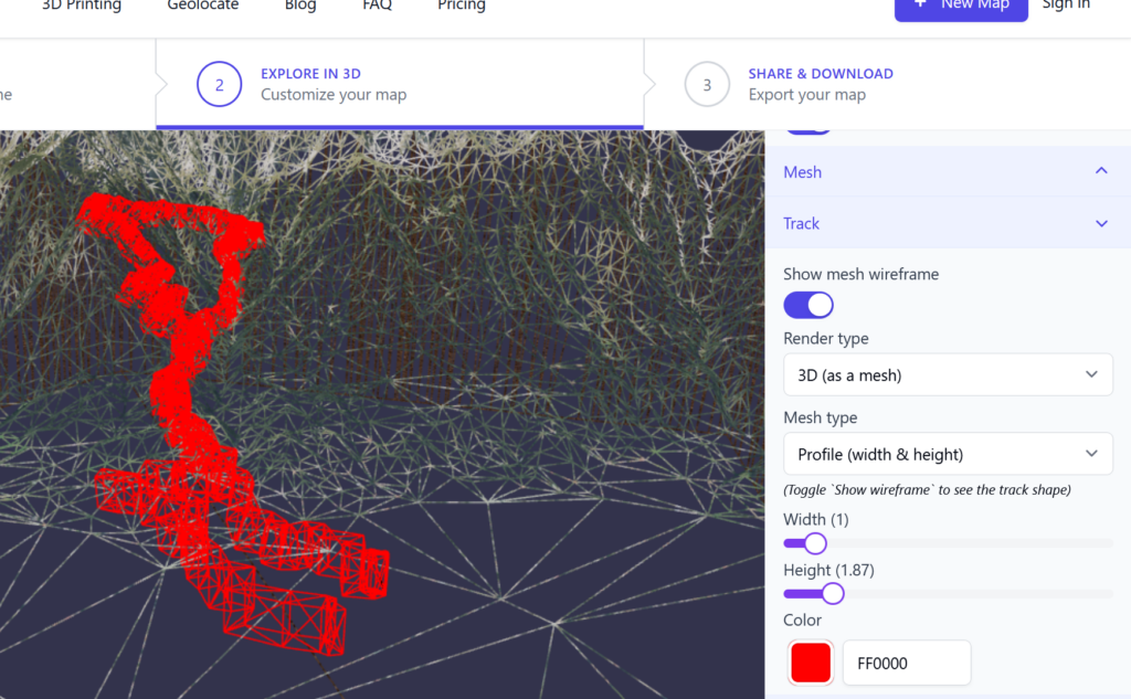
Mesh track options

Export format

You have the choice to export your map in .OBJ or .GLB. Most slicer software will only support .OBJ but we would advice to export in both format so you can have a backup in case you need to post process your map for another use.

Will the imagery be printed ?

Most of the “at home” printers do not have the possibility to print with color. That said some 3D printing services (like shapeways.com) offer a “multicolor” option, which prints the satellite imagery like this

What is the glTF / glb format ? (3D file)

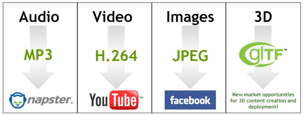
glTF is the “JPEG for 3D”

glTF is the “JPEG for 3D”, it describes 3D scenes in a standard format optimized for the Web. The file extension is .gltf or .glb.

While it is still not well know, lots of software already supports it and in this article I am gonna showcase some of them.

Try it yourself, download an example glTF file (Mont blanc valley) that was created on https://maps3d.io

On the web

You can preview glTF files on the web:

All those viewer use some 3D engine to render the glTF file in WebGL on your browser. Similarly to those “online viewer”, you can also use those 3D engines to embed a glTF on your website / blog, here is an example using model viewer of Google based on Three.js (but you could also use Babylon.js viewer, Cesium.js , Aframe, …)

See the html code for this

Directly on facebook

Facebook gives you the possibility to share glTF files directly, pretty cool isn’t it 😎 ?

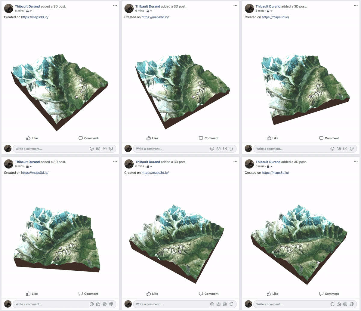
Gif facebook 3d post
Facebook 3D Post

On mobile

Aside from being able to directly open you mobile browser and use the methods described above, several apps offer support for the glTF format, I am gonna feature glTFShowCase which is available on both iOS and Android

After installing the app, open this link in your mobile browser and choose to open with glTFShowCase.

With this app you can save and view your file offline

Demo glTFShowCase Preview

And even view it in Augmented reality (AR) 🤯 !

On desktop

Windows

Microsoft is part of the glTF Working group and is making glTF very easy to work with, on Windows 10 you can directly view your files with the 3D Viewer app.

Even better than this, the Office suite is already supporting glTF, for example you can add a glTF file directly on a powerpoint presentation.

macOS

At the time of writing this article, macOS is still lagging behind for first class glTF support, but some third party app exists to preview them.

Conclusion

glTF is very well supported across platform and that is why it is also the export format for https://maps3d.io.

For some reason if you need to convert it to another 3D format (OBJ, STL, COLLADA …), you can do it with blender > 2.80 (currently in beta) which has a built-in importer for glTF.