Turn your GPS tracks into a 3D map
Upload GPX or KML files from Strava, Garmin, Komoot or Wikiloc and see your rides, runs and hikes on a real 3D terrain model.
You can select several files at once.
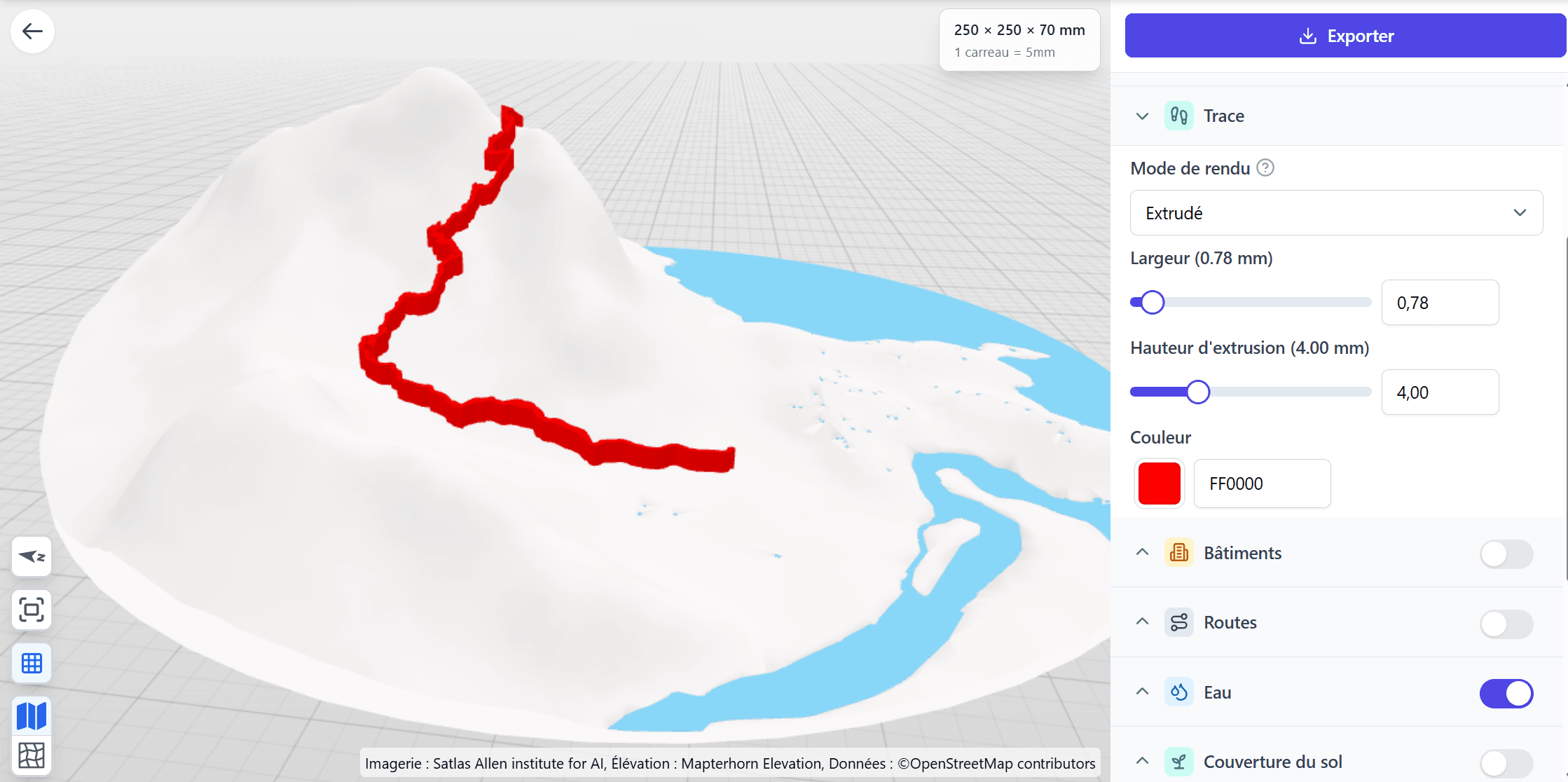
Upload GPX or KML files from Strava, Garmin, Komoot or Wikiloc and see your rides, runs and hikes on a real 3D terrain model.
You can select several files at once.